

Spatial Data Management
Enrolment options
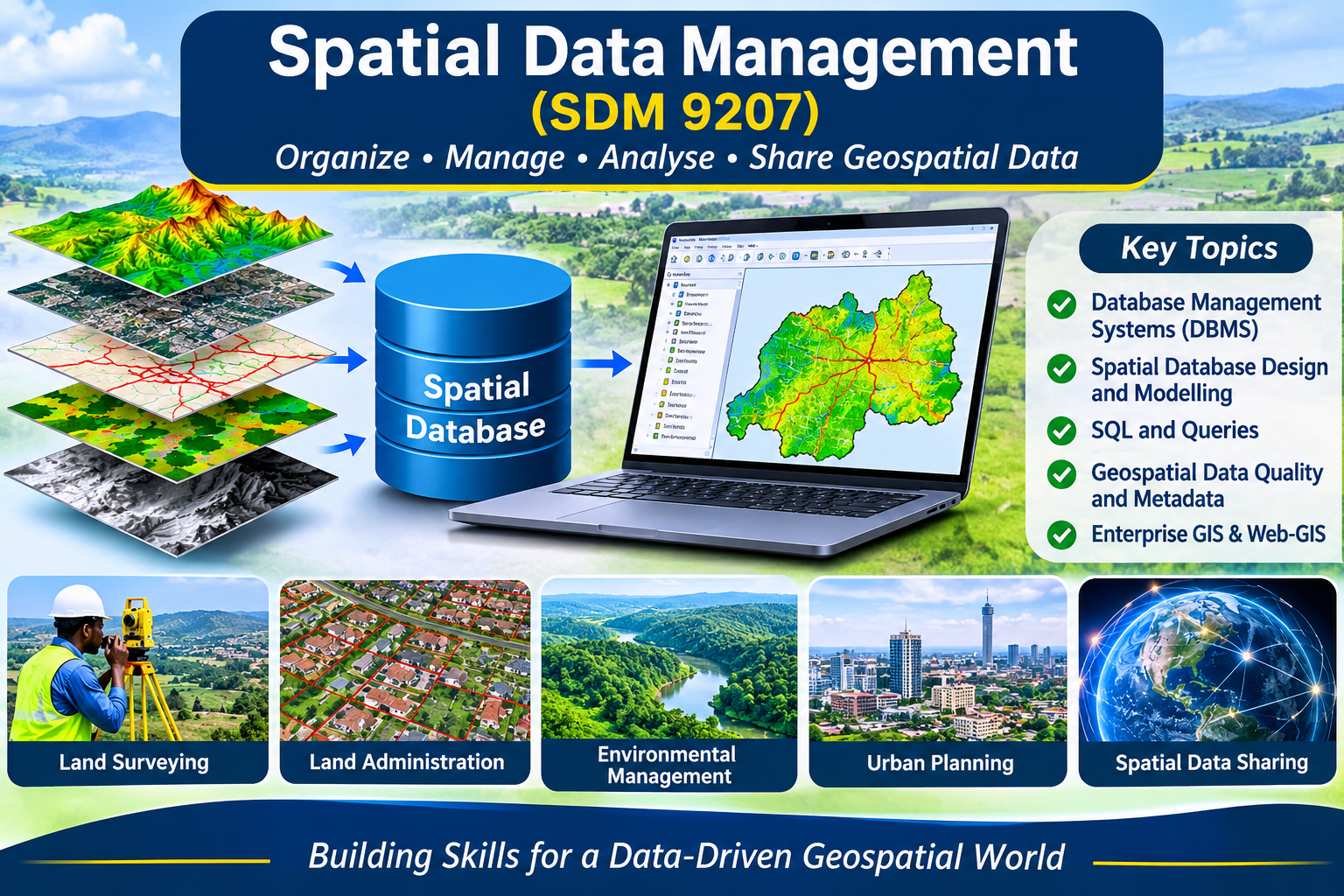
The Spatial Data Management module introduces students to the principles, techniques and applications of managing geospatial and non-spatial data. It covers database management systems, spatial database design, conceptual, logical and physical data modelling, SQL querying, metadata management, data quality and spatial data interoperability. Students develop practical skills in organizing, creating, editing, querying and maintaining geospatial databases using commercial and open-source technologies such as PostgreSQL/PostGIS, QGIS and ArcGIS. The module also explores enterprise geospatial database systems, spatial data sharing and web-based GIS applications, enabling students to design and implement spatial database solutions for land administration, surveying, environmental management and other geospatial applications.