

HSV314-HYDROGRAPHIC SURVEYING
Enrolment options
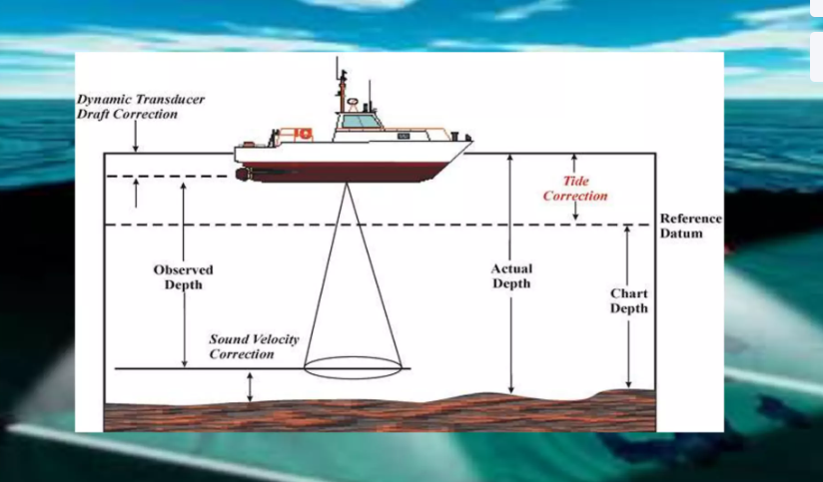
Hydrographic surveying is the science and practice of measuring, mapping, and describing the physical features of water bodies such as oceans, seas, rivers, and lakes and nearby land that affects navigation and coastal activities. It uses methods from surveying, cartography, oceanography, and geodesy to provide accurate data for safe navigation, coastal development, environmental monitoring, and maritime management.